Zorgeloos Kamperen
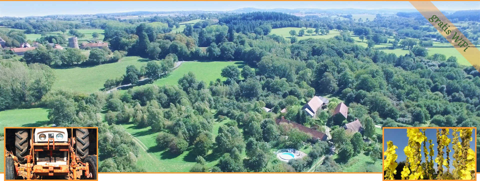
Natuurbeleving, tot rust komen, nieuwe ervaringen en inspiratie op doen, verandering van omgeving zijn allemaal redenen om lekker op vakantie te gaan. In onze ervaring kan dat het beste gedaan worden in een omgeving met veel natuur. We nodigen je daarom uit op La Chassagne, gesitueerd in een oude boerenhoeve in het landelijke topje van de Auvergne in de Allier, Frankrijk.
Kom ook genieten van rust, ruimte en natuur, tijdens het wandelen, fietsen, kanoën of bijvoorbeeld klimmen in de directe en nabije omgeving. Je kunt de roofvogels zien cirkelen in de blauwe lucht. Misschien zie je zelfs een hert, vos of een steenmarter. Tijdens de heldere nachten is de prachtige sterrenhemel te bewonderen.
Onze camping nabij het kleine dorpje Ronnet is opgezet zoals we zelf graag willen kamperen: dichtbij de natuur en op ruime plekken met veel privacy. Wees welkom om unieke ervaringen op te doen vanuit je eigen standplaats, onze safaritent of ons appartement.
Maarten Schuit en Mary Ann Koops